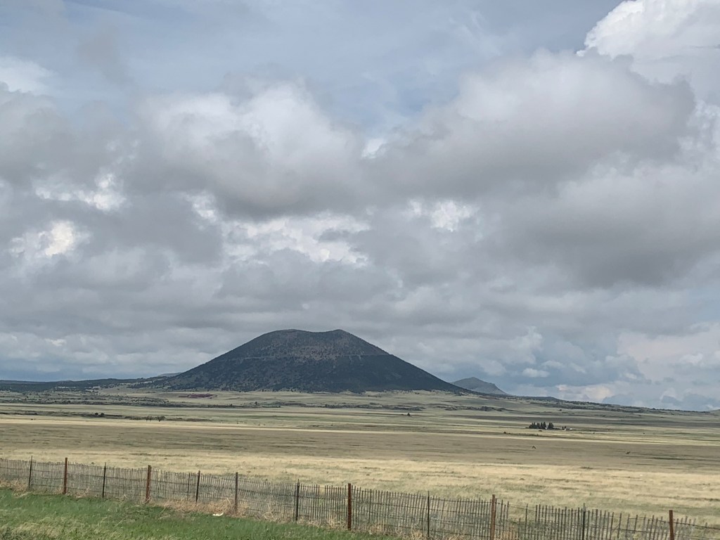
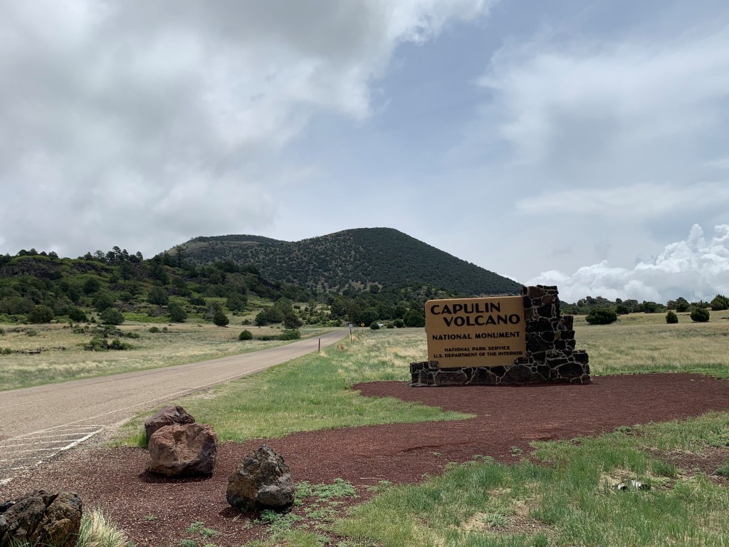
We left Palo Duro Canyon in the morning and headed back toward New Mexico. On our way to Sugarite Canyon State Park, we stopped at the Capulin Volcano National Monument. This extinct volcano stands out on the horizon in New Mexico.
Once entering the park, a large parking lot provides ample parking for various sizes of vehicles. No trailers or campers are allowed on the road to the top of the volcano, though there is room to unhitch and drive to the top of the steep, narrow road.
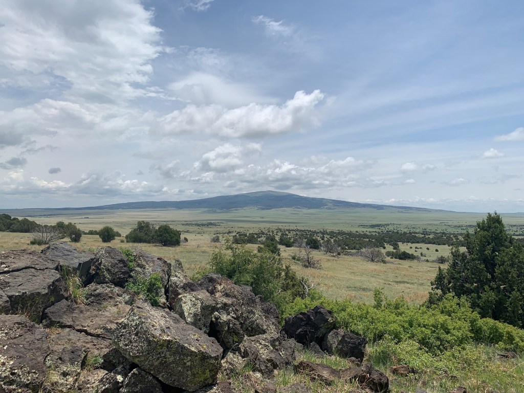
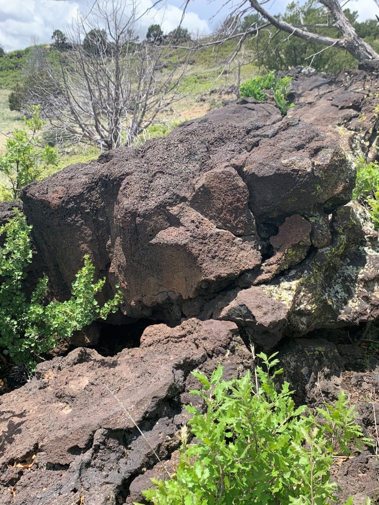
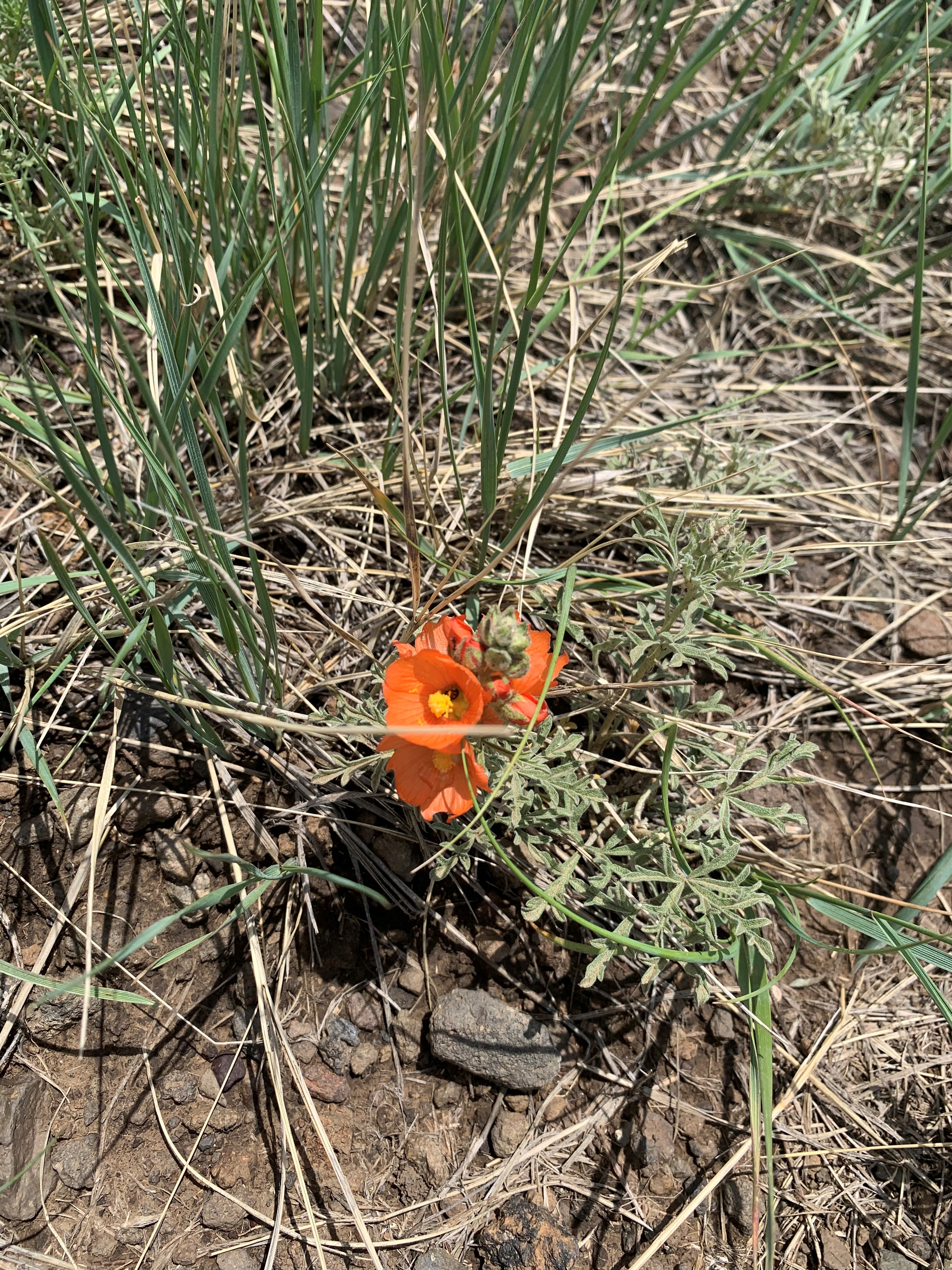
We ate our and watched the movie at the visitors center, then headed out for a hike on one of the trails at the base of the volcanic mountain. The open views allowed us to see storm clouds building in the direction we were headed, despite the perfect weather where we were currently.
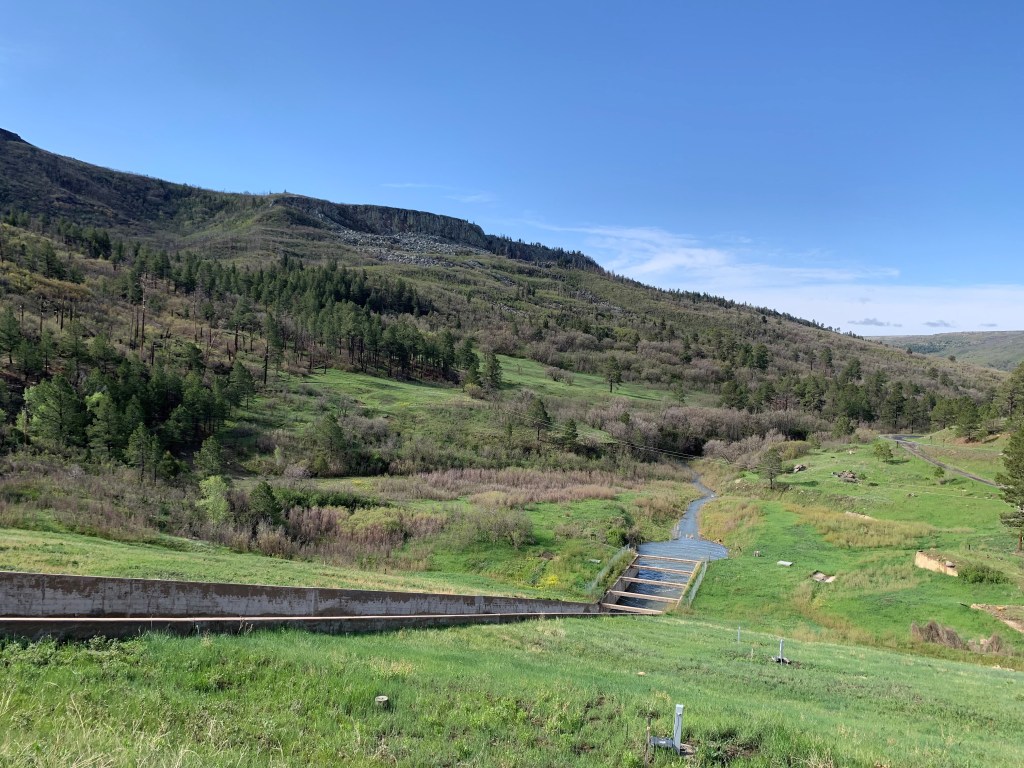
We continued our drive and made it to Raton just as the storm began with a huge strike of lightening and hail the size of dimes. We waited out part of the storm under the awning at a gas station (we needed to get gas anyway). When it appeared the worst had passed, we got on I-25 and were immediately met by another wave of rain so hard we could not see out the windshield. We pulled off the freeway at an exit and waited for 25 minutes until we could again see and the rain had finally subsided. The roads, however, were covered with water and mud. We drove the straight road to the turn-off for Sugarite Canyon State Park. This was previously a coal mining operation more than 100 years ago. Pictures in the visitors center show a small town built on the steep hillside and mining equipment at the base near the river. The narrow canyon once housed more than 1,000 miners. Today, there are two campgrounds, one with electricity, and a reservoir (Lake Maloya) where visitors can easily canoe across the lake into Colorado. Lake Alice also sits near the lower campground and is much smaller. These lakes provide water to nearby Raton.
Our reservation had been made only a week prior to arrival. I had done no research on this park, so after checking in, we began driving the narrow road to the Soda Pocket Campground that sits on top of the mesa. This is the largest of the two campgrounds and provides beautiful views, but there is a steep dirt road to reach the top. The rain storm had created mud and rivulets of water washing down the road.
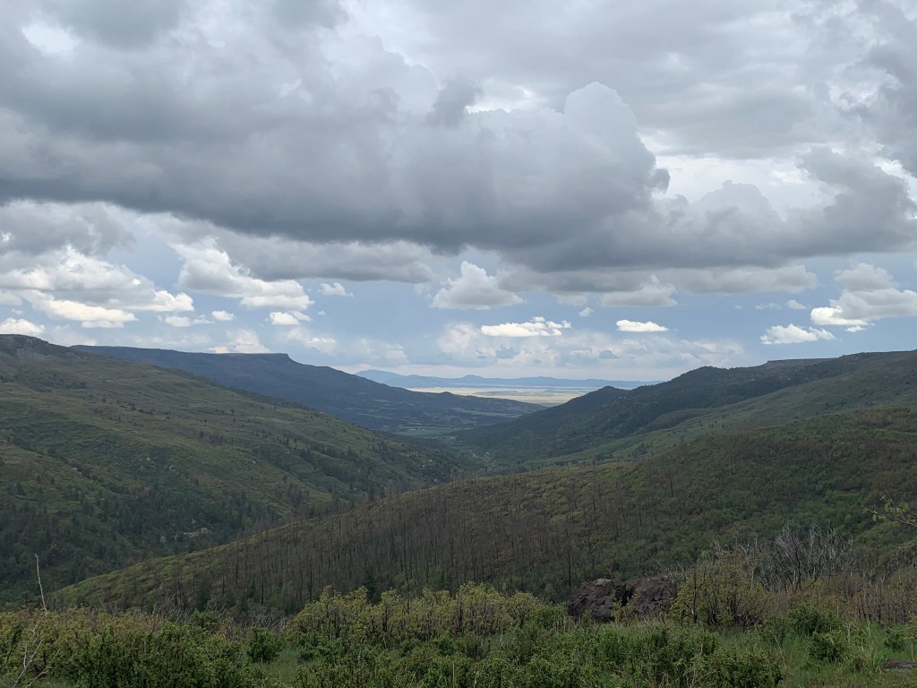
We kept going up the side of the mesa, hoping we would make it to the top. Finally, we did. The views were incomparable. We could see the burn scar from a recent fire that got very close to the campground, but we could also see miles in all directions into both the canyon and the open New Mexico desert.
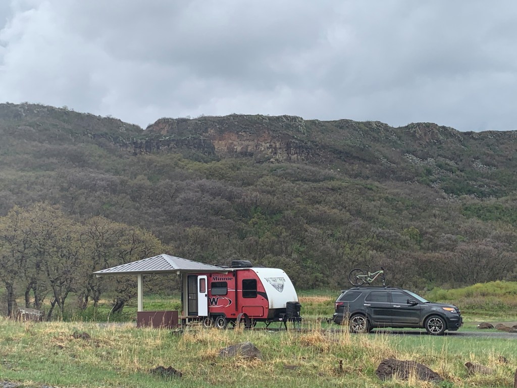
There were no hookups at this campground, but water spigots were available and a dump station and electricity was usable at the lower campground (Gambel Oak Campground). Soda Pocket had spacious sites, some with scrub oak large enough to hang hammocks and provide shade, and all with awnings over the picnic tables. The picnic table pad had new concrete and a fire pit. We sat outside and enjoyed the view, until another thunder storm came through in time for dinner. Once it passed in a couple hours, we took a walk outside to enjoy the view and cooler temperatures.
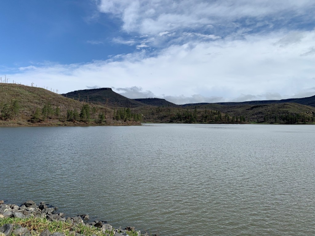
There are 14 miles of hiking trails at this state park, but the real focal point here is Lake Maloya, a 120 acre lake stocked with various types of fish. A fishing tournament was beginning, and fishermen were lining the edges of the beautiful, still reservoir. Fishing here is supposed to be very good and the peaceful lake offered rental kayaks and SUPs. We would definitely return, but would camp at the Gambel Oak Campground for the electricity hook-up and proximity to Lake Maloya.